Trails to the Past
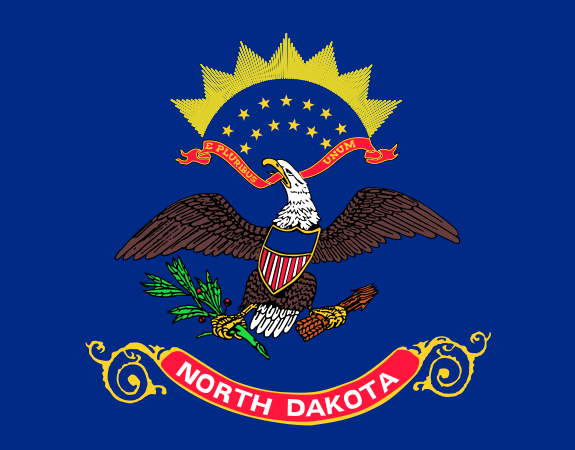
Trails to the Past of North Dakota is excepting any donations of genealogy materials that you may have such as marriage announcements, news articles, old obituaries, births, (you do not need the birth certificate) just the information, and biographies. If you have any of these items please contact me Marie Miller the North Dakota State Administrator
Mountrail County was first established in 1873 (as Mountraille County) by the Dakota Territorial Legislature, but the boundaries were different than they are today, extending from the Missouri River north to the border with Canada. It remained a county when North Dakota became a state in 1889, but in 1892 North Dakota Legislature authorized neighboring Ward County to take over all of Mountrail's territory, and the county was eliminated. At the November 3, 1908, general election, a vote was held in Ward County on whether to recreate Mountrail with different boundaries. The vote was 4,207 to 4,024 in favor of the new county, but North Dakota's Attorney General sued the Secretary of State over the validity of the vote, and the formation was delayed until the Supreme Court affirmed the vote in January 1909.
The Cities of Mountrail County are New Town, Palermo, Parshall, Plaza, Ross, Stanley, and White Earth. Stanley is the County seat. Unincorporated communities are those of Belden, Lostwood, Lunds Valley, Old Sanish, and Tagus.
Townships of Mountrail County
Alger
Austin
Banner
Bicker
Big Bend
Brookbank
Burke
Clearwater
Cottonwood
Crane Creek
Crowfoot
Debing
Egan
Fertile
Howie
Idaho
James Hill |
Kickapoo
Knife River
Liberty
Lostwood
Lowland
Manitou
McAlmond
McGahan
Model
Mountrail
Myrtle
Oakland
Osborn
Osloe
Palermo
Parshall
Plaza |
Powers
Powers Lake
Purcell
Rat Lake
Redmond
Ross
Shell
Sidonia
Sikes
Sorkness
Spring Coulee
Stave
Van Hook
Wayzetta
White Earth |


